Audience: Land managers, risk managers, public health practitioners
Focus area: Spatial Analysis & Mapping
Level: Intermediate
Read time: ~6–7 minutes
Introduction
Risk assessment is widely used across sport, recreation, and public health to support decision-making. These approaches typically rely on structured methods such as likelihood and consequence scoring, supported by hazard identification and control evaluation.
While effective for organising information, they often treat risk as non-spatial. Location is usually reduced to a simple descriptor—such as “urban”, “coastal”, or “regional”—rather than analysed as a variable in its own right.
This limits how risk is understood across environments. Location is a critical but underutilised component of risk assessment, and incorporating spatial thinking can significantly improve both analysis and decision-making.
The Problem
Traditional approaches organise risk into discrete hazards, often captured in registers. While useful, these structures treat hazards as isolated entries and rarely consider how they vary across space. Location is typically included as a label, not an analytical dimension.
For example, an organisation may assess risks associated with recreational activities across multiple sites. Incidents are often aggregated at program or regional levels, masking variation between locations. As a result, areas with elevated risk may not be distinguishable from lower-risk areas within the same category.
This creates blind spots. Decision-makers may know risk exists, but lack insight into where it concentrates, how it varies, and what influences it. Without this understanding, interventions are applied broadly rather than targeted to where they are most needed.
What Spatial Analysis Adds
Incorporating spatial thinking shifts the focus from isolated hazards to patterns across environments. Spatial analysis considers relationships such as proximity, clustering, and variation in exposure, providing a more nuanced understanding of risk.
Risk is rarely evenly distributed. Spatial methods reveal hotspots, gradients, and relationships between environmental features and incident occurrence. This moves analysis beyond simple counts toward understanding how and why risk emerges in specific locations.
It’s important to distinguish between mapping and spatial analysis. Mapping visualises data; spatial analysis examines relationships within it. Together, they provide a more complete picture and support more informed decision-making.
In Practice
The following simplified example illustrates this shift.
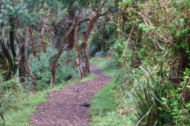
Consider a network of shared-use trails used for cycling and walking. At a high level, incident data may suggest risk is relatively consistent across the network. However, spatial analysis may reveal clusters of incidents near trail intersections, steep gradients, or areas with mixed user types.
These patterns often reflect underlying factors such as user behaviour, infrastructure design, or environmental conditions. Without spatial analysis, these relationships remain hidden within aggregated data.
By identifying where incidents cluster, organisations can better understand the drivers of risk and prioritise interventions such as signage, surface improvements, or targeted education.
Practical Takeaways
- Treat location as a variable, not a descriptor
- Avoid over-aggregation of incident and exposure data
- Use spatial analysis to identify priority areas
- Consider relationships between environment, behaviour, and incidents
- Use spatial outputs to support targeted, defensible decisions
Conclusion
Incorporating spatial thinking into risk assessment improves both understanding and decision-making. By moving beyond aspatial summaries and examining how risk behaves across environments, organisations can better identify priorities, allocate resources, and implement targeted interventions.
References
[1] ISO 31000:2018 – Risk Management Guidelines
[2] World Health Organization (2021). Injury Surveillance Guidelines
[3] Cromley, E.K. & McLafferty, S.L. (2011). GIS and Public Health (2nd ed.). Guilford Press