Risk & Hazard Assessment in a Spatial Context
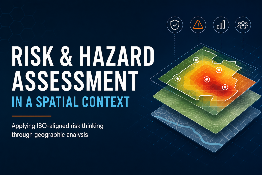
Applying ISO-aligned risk thinking through geographic analysis Risk occurs somewhere. Whether organisations are managing public safety, infrastructure, environmental exposure, emergency […]
Applying ISO-aligned risk thinking through geographic analysis Risk occurs somewhere. Whether organisations are managing public safety, infrastructure, environmental exposure, emergency […]
Spatial risk analysis workflows are often fragmented across GIS software, spreadsheets, manual processing steps, and custom scripts. While these approaches
The problem Some organization’s working with spatial data are still relying on fragmented, one-off scripts. Data is pulled from multiple

Audience: Land managers, risk managers, public health practitionersFocus area: Spatial Analysis & MappingLevel: IntermediateRead time: ~6–7 minutes Introduction Risk assessment